Project · 2026
EarthFlow
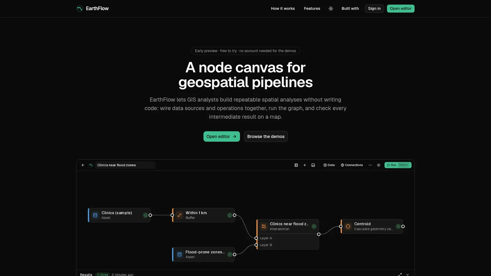
A node canvas for geospatial pipelines
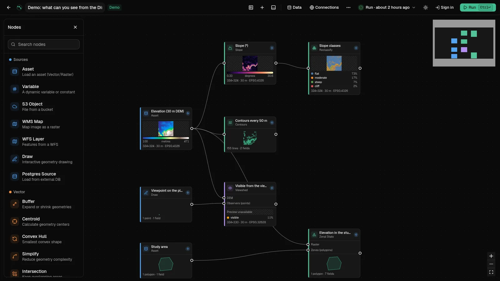
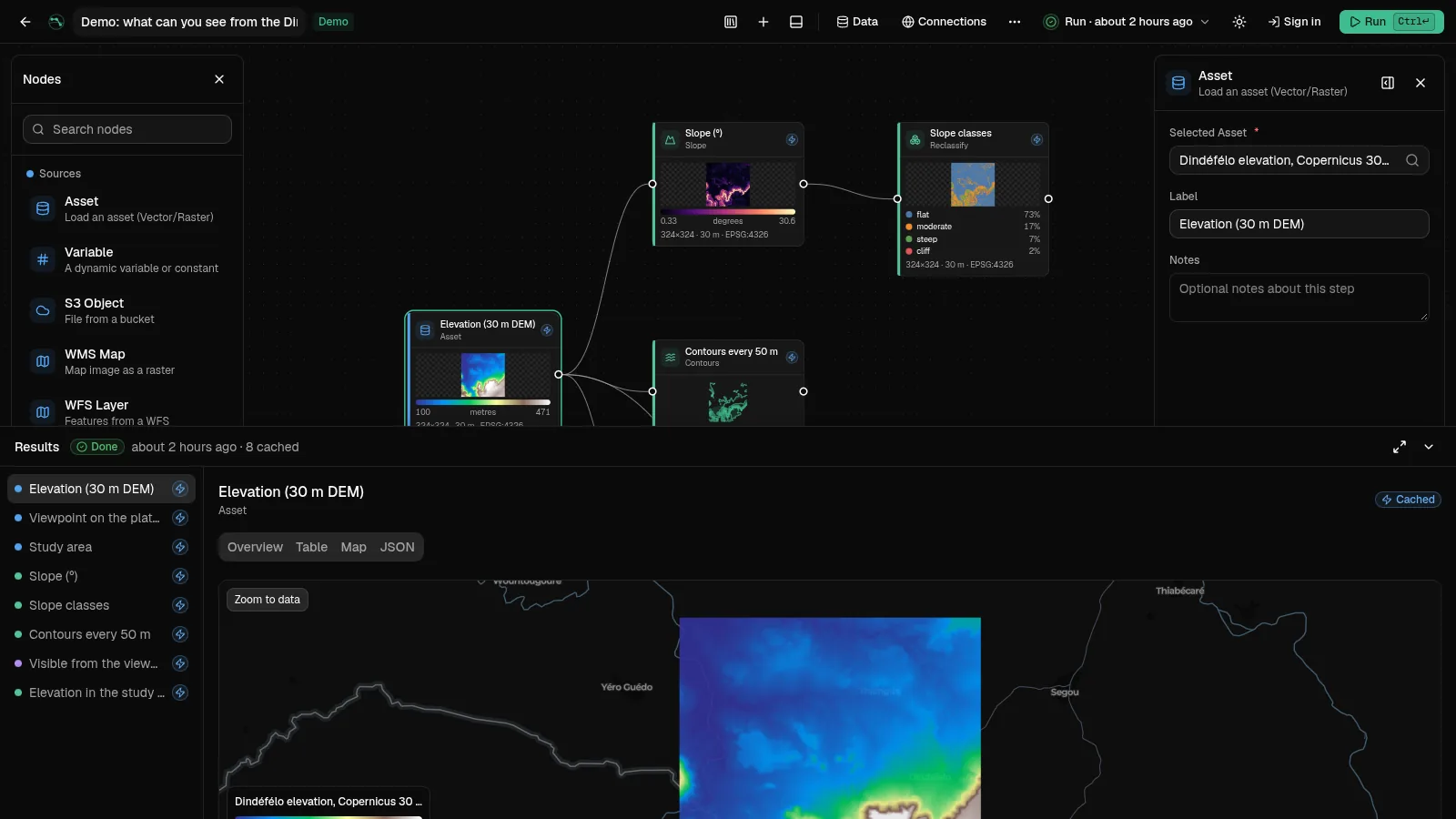
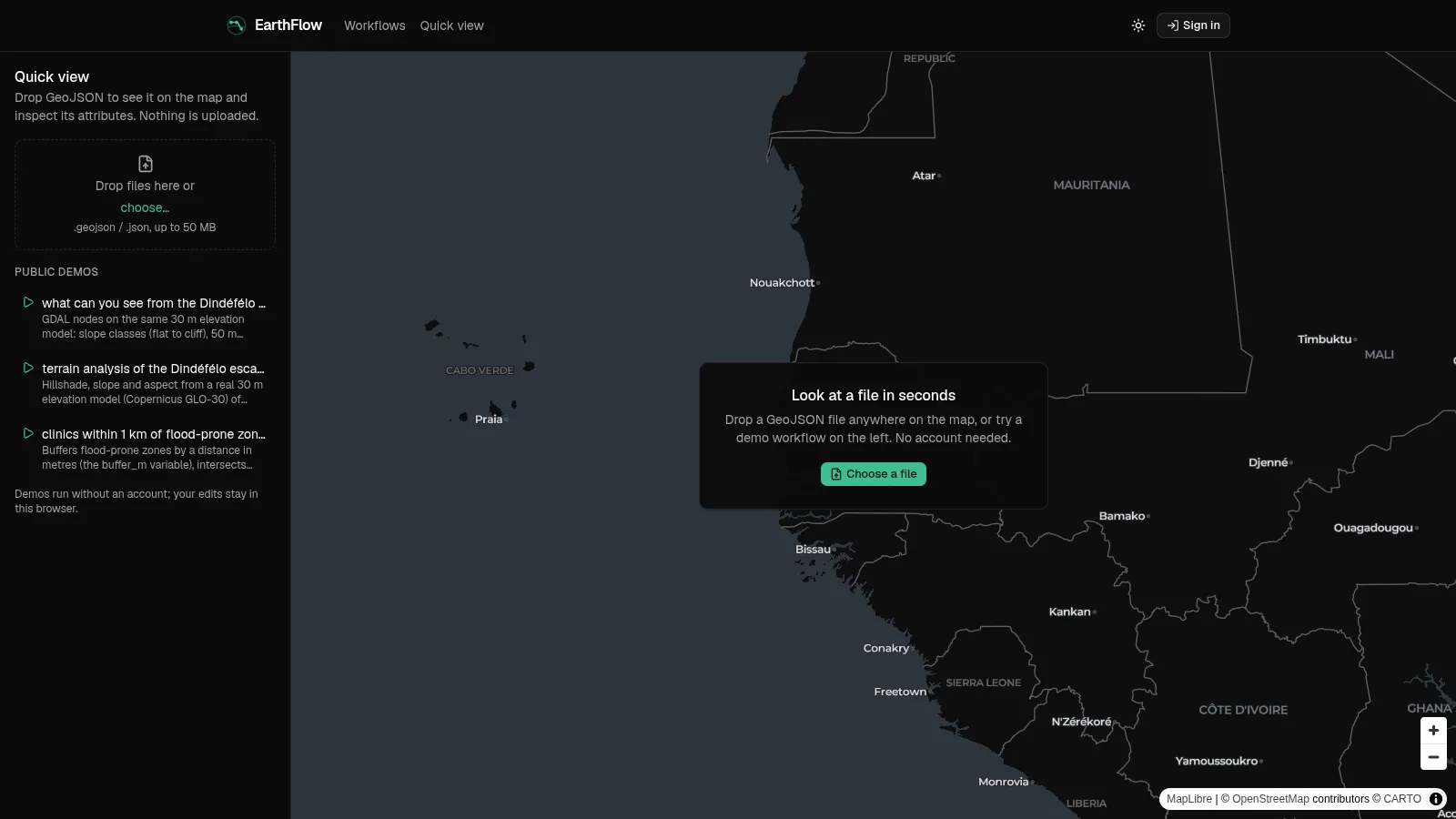
What if GIS analysis felt like ComfyUI? Wire data sources and operations on a canvas, run the graph, and check every intermediate result on a map. The engine is Rust with GDAL underneath; demos and a quick GeoJSON viewer are open without an account.
What's interesting about it
- Rust/Axum engine: topological sort with cycle detection, typed values flowing between named ports, fan-in merged into arrays.
- GDAL-backed nodes: slope, reclassify, contours, viewshed, zonal statistics, reproject, merge, polygonize, plus GEOS vector operations.
- Every raster output is written as a Cloud Optimized GeoTIFF and served as map tiles through TiTiler; node cards preview their own output.
- Incremental runs reuse unchanged outputs, run history survives reloads, and "Run to here" keeps the rest of the graph's results.
- Supabase sign-in with Google, organisations and scoped workflows; public demos and a no-login editor for quick checks.