Project · 2026
Suuf
Check a plot of land before you buy it
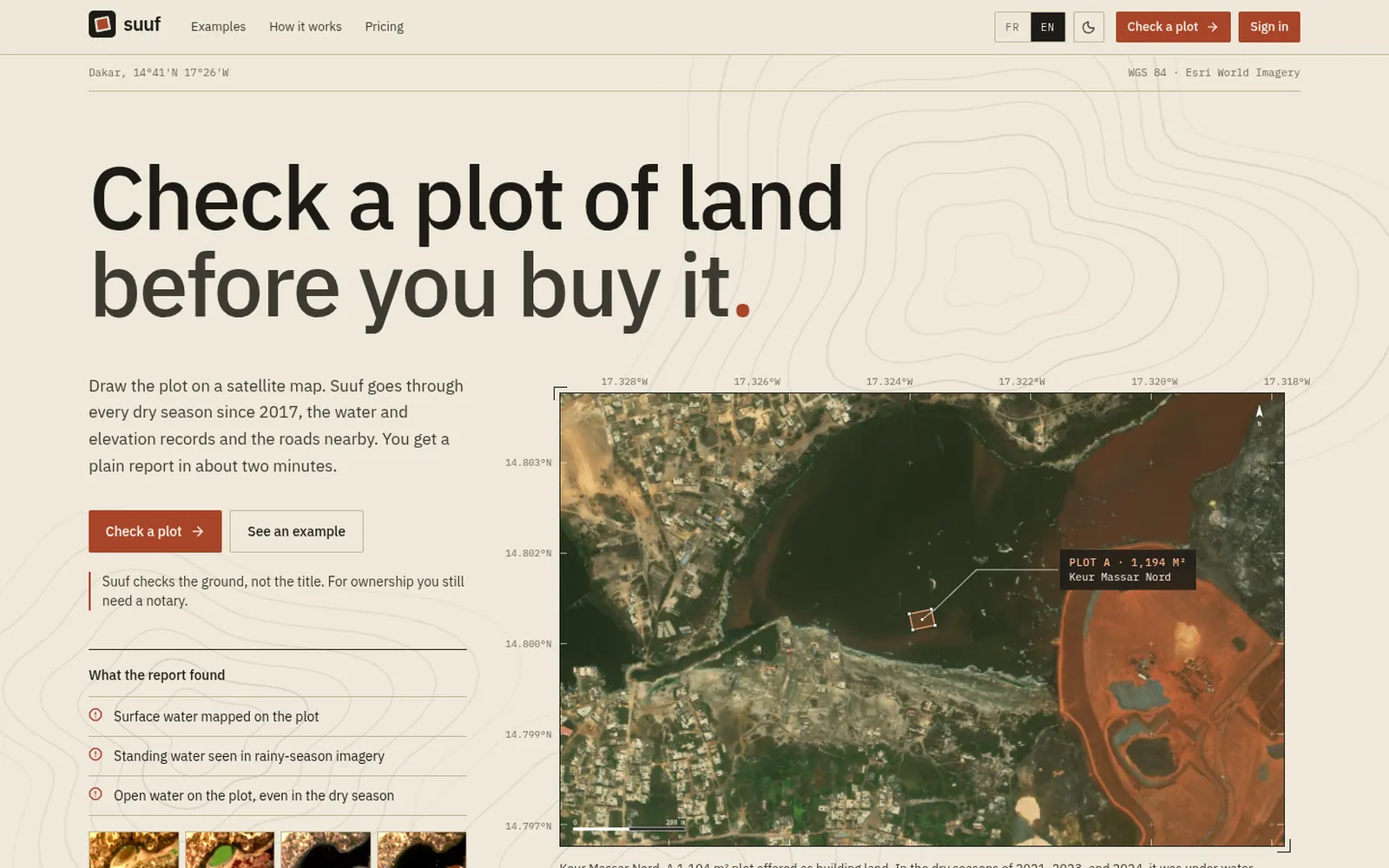
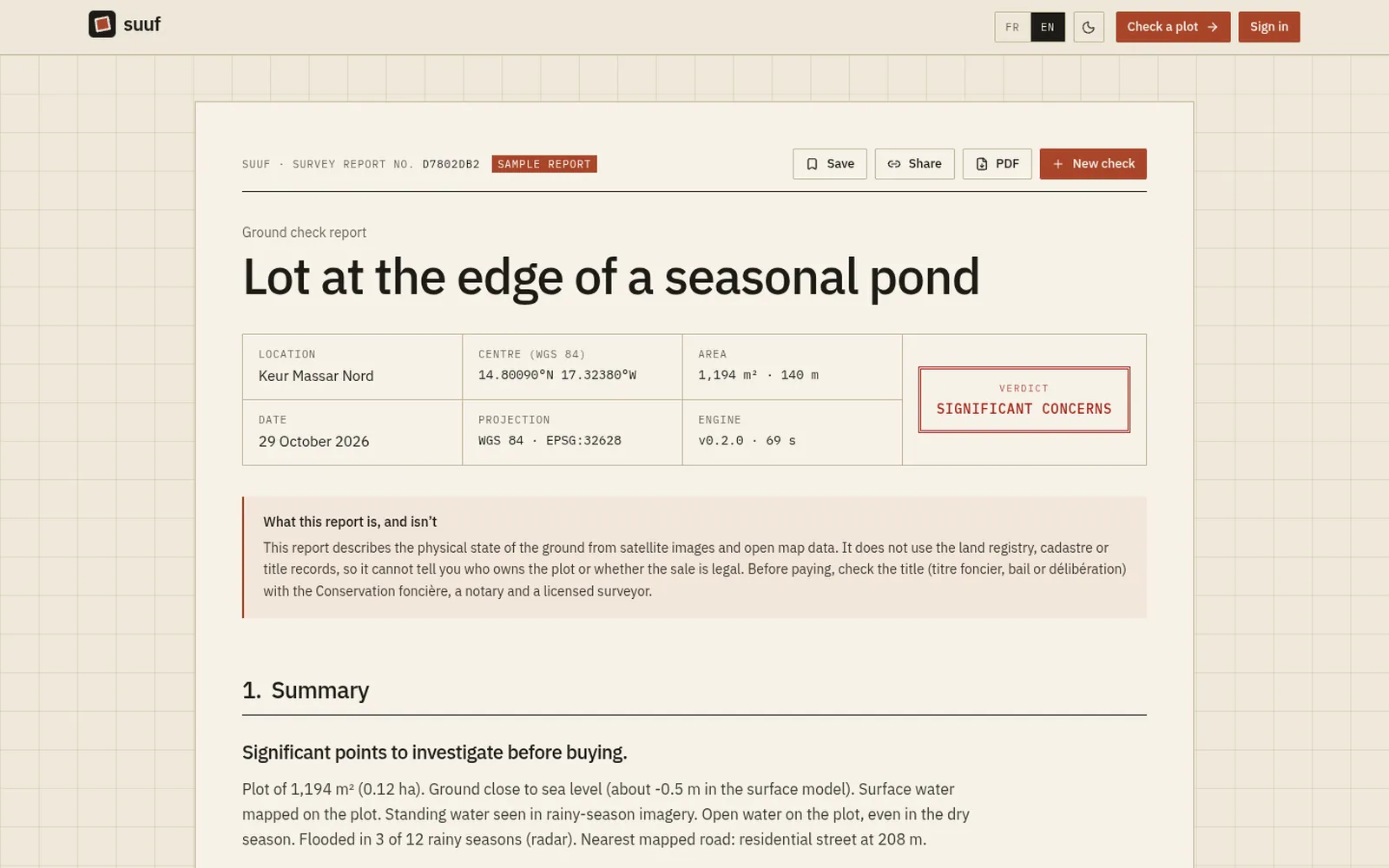
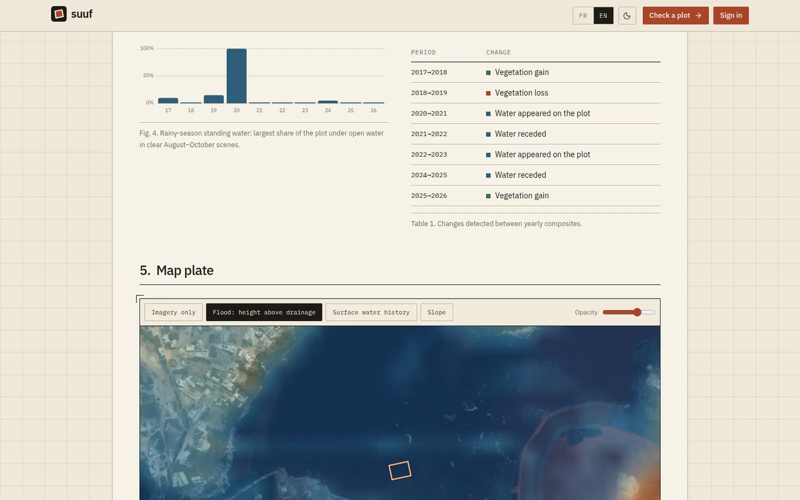
Draw a plot on a satellite map and Suuf reads ten years of open satellite data around it: a dry-season image for every year since 2017, radar flood history that sees through the clouds, terrain, surface water, and the roads and services nearby. You get a signed report in about a minute. It checks the ground, not the title, and says so on every page.
What's interesting about it
- Python engine on rasterio and STAC: a cloud-masked Sentinel-2 composite per dry season, vegetation and built-up trends, and Sentinel-1 radar for flooding, all read as small windows from Cloud Optimized GeoTIFFs.
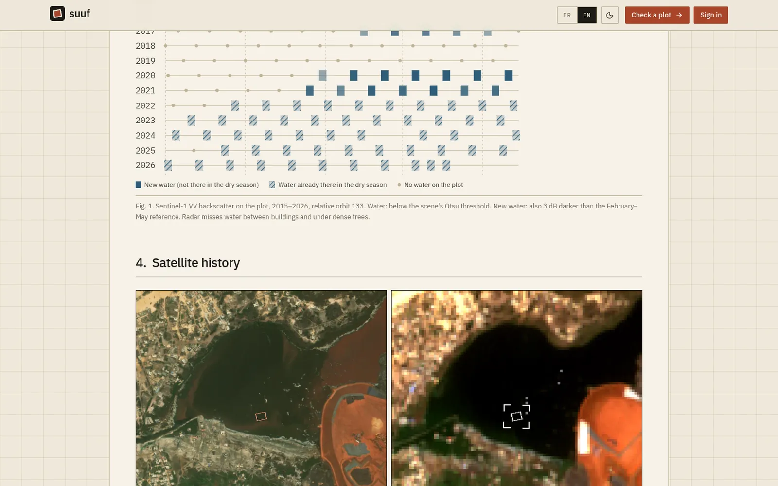
- Copernicus DEM for slope and low ground, JRC Global Surface Water for 37 years of water, and OpenStreetMap for access, queried in parallel with hedged mirrors and an area cache.
- Every report is Ed25519-signed. A QR code on the page verifies it publicly without revealing the plot.
- Reports are private to whoever saved them, and shared through links that expire or can be switched off.
- Weekly re-checks with email alerts when water, clearing or building appears; imagery served from Cloudflare R2.